Aerial panoramic of the River
< Drag image to move >

Show indicators
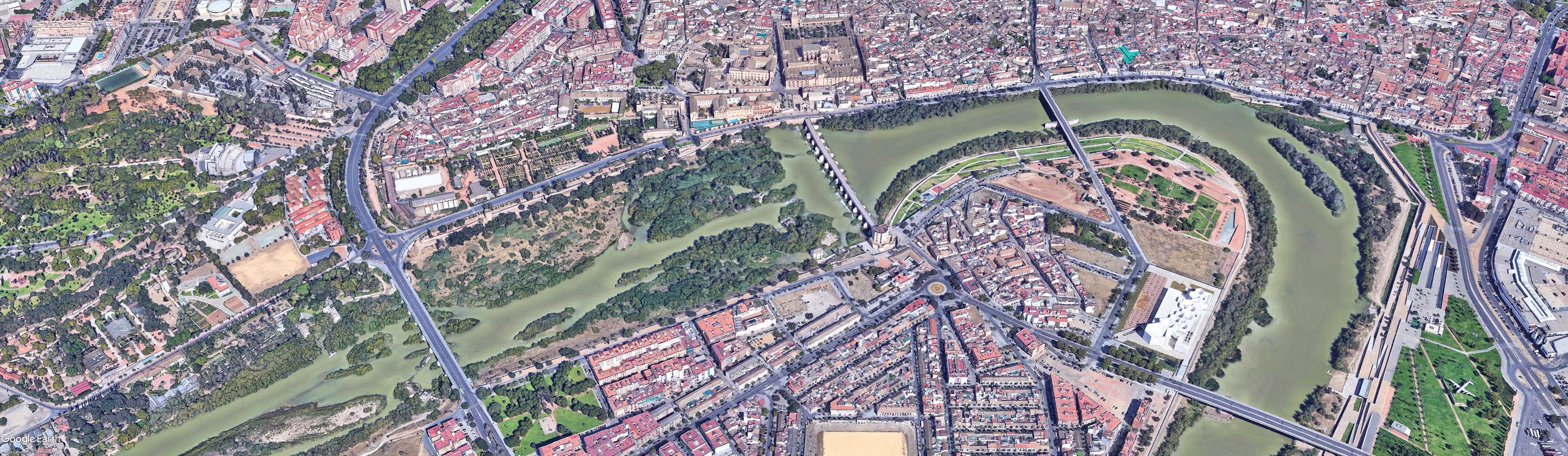
Aerial photography layer: © Google Earth. Landsat/Copernicus. Indications of the tourist resources that we have considered of greatest interest have been arranged on it.

< Drag image to move >
Show indicators
Aerial photography layer: © Google Earth. Landsat/Copernicus. Indications of the tourist resources that we have considered of greatest interest have been arranged on it.